
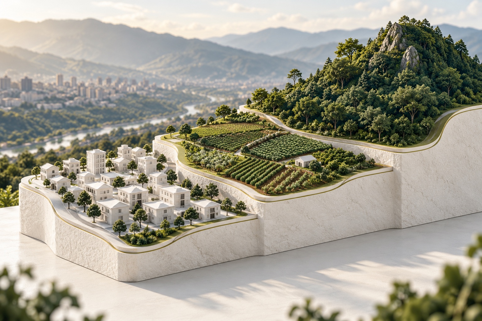
Three questions to ask when reading a listing
“Countryside”, “residential” or “investment” may describe an offer and its surroundings. To understand its possibilities, separately ask about land classification, uses allowed by planning rules and requirements for your intended project.
Record those three questions in a comparison sheet and request support for each answer. One listing can combine rural surroundings, residential intention and expected appreciation without demonstrating specific permission. Do not use countryside as a universal legal category or property size as evidence that subdivision is possible. Law 388 provides a classification framework that must connect with the municipal instrument and current rules. If the exact municipality is uncertain, resolve it through documents and location first. Driving time to Medellín describes convenience but does not establish which authority or territorial rules apply. Keep commercial descriptions separate from the source-backed facts used for a decision.
Ley 388 de 1997 · Clasificación del suelo · Bogotá JurídicaAlcaldía de Medellín · POT y consultas de usos del sueloClassification comes from municipal planning
Planning distinguishes urban, urban expansion and rural land. Suburban is a category within rural land; it is not the same as urban land. Check the category and applicable rules in the relevant municipality's documents.
Protected land can occur within different land classes and restrict development. A green view or an undeveloped plot alone does not establish its classification or restrictions.
Read the text and maps together, including amendments and coverage. A screenshot without legend, date or layer identification can confuse a general land class with another territorial condition. Obtain interpretation when a line appears to cross the property or documents do not locate it clearly. Classification establishes a territorial framework but does not answer every question about activities, services, works or constraints. Nearby houses do not automatically make a rural parcel urban. Retain the source and property reference with the response. That traceability allows reconsideration when the project changes or another document clarifies location. It is more useful than a map label detached from its underlying instrument.
Minvivienda · Glosario de ordenamiento territorialLey 388 de 1997 · Clasificación del suelo · Bogotá JurídicaAlcaldía de Medellín · POT y consultas de usos del sueloA countryside description does not establish housing permission
The word “countryside” in a listing does not confirm residential permission. Nor should you assume all rural land allows the same uses. Check the property's uses, conditions and restrictions with the relevant planning authority.
Describe the actual plan: permanent residence, guest accommodation, cultivation or an activity involving visitors and vehicles. Scale and operation can change the enquiry even when the landscape stays identical. Ask about permitted uses and conditions rather than assuming a neighbour’s experience answers your case. If a seller promises a use, request property-specific evidence and clarify the contractual commitment with advice. An economic-activity response can differ in scope from permission to build a home. Record the question asked and what the source answered. When evidence confirms only one part, leave the remainder outstanding instead of summarising the whole property as suitable. The description should remain precise enough for another reviewer to test it.
Alcaldía de Medellín · POT y consultas de usos del sueloMinvivienda · ¿En qué consiste una licencia de construcción?Use, development capacity and permits are separate
Even when a use is compatible with planning rules, the project's conditions still matter. Height, occupancy and construction ratios, density, setbacks and restrictions are separate facts; they cannot be inferred from plot area alone.
A construction permit specifies approved aspects of a project. Do not confuse a land-use inquiry, subdivision permit or commercial description with that authorization.
Separate indicators describing occupied footprint from those describing accumulated floor area and check their definitions in the applicable rules rather than importing formulas from another municipality. Confirm that proposal areas match the quantities used by that regulation. Environmental, infrastructure and hazard conditions can also matter beyond a global number. A licence specifies authorised project aspects; check correspondence with location and proposal instead of treating any procedural document as approval. Ask what further review is needed when design changes. A financial comparison based on buildable metres needs an identified planning and technical basis rather than a sales estimate presented as fact. Record the source of each quantity used in that comparison.
Minvivienda · ¿En qué consiste una licencia de construcción?Alcaldía de Medellín · POT y consultas de usos del sueloWhat to request when information is missing
Record unconfirmed facts and request the municipal reference, assessment or permit supporting each claim. Our form allows information to remain incomplete: an open question is better than an invented number of permitted floors.
Prepare a short enquiry identifying the property, location plan, activity, scale and received documents. Ask the response to clarify source, scope and outstanding requirements and keep the version of the project described. A generic question about buildability can produce information insufficient to choose between housing, commerce or tourism. Identify the professional or authority responsible for each question and an internal target for obtaining evidence without inventing an official response deadline. Return to the source when incompatible information appears before changing a listing or committing funds. Precision includes acknowledging the unknown and explaining which review could resolve it. An unanswered question should remain visible in the candidate record.
- Classification and uses: source, date and the property they concern.
- Building conditions and their supporting documents.
- Outstanding questions requiring technical or legal advice.
Read an example of two countryside offers
Imagine two hypothetical listings with the same area and countryside label. One is in Medellín and the other in a nearby municipality; neither yet provides a response addressing your proposed home. Do not infer identical conditions from similar surroundings or travel time. Confirm municipality, identifiers, current instrument and mapped location for each candidate. Then enquire about the same project so responses can be compared by scope. If one document addresses an economic activity and the other only a general classification, they are not equivalent approvals. Identify what is missing in each case as the next action. Avoid filling the gap with a floor count observed nearby. Law 388 organises classes and categories, while municipal rules establish territorial conditions and the relevant procedure assesses the project. The example does not select a better candidate; it turns similar commercial descriptions into different verifiable questions. Keep responses together with the specific proposal and property reference to make that comparison reproducible.
Ley 388 de 1997 · Clasificación del suelo · Bogotá JurídicaAlcaldía de Medellín · POT y consultas de usos del sueloMinvivienda · ¿En qué consiste una licencia de construcción?Connect maps with the area actually offered
Territorial enquiry requires knowing which property or portion is assessed. Connect registration number, cadastral reference, plan and location before reading layers; an approximate coordinate sent through messaging may fall on the wrong side of a relevant line. If the listing offers part of a holding, establish its boundaries and documentation supporting the proposed transaction. Converting square metres to hectares does not settle that issue or determine boundaries. Total surface also does not equal usable or developable area: access, shape, slopes and constraints need specific analysis. Retain the map with source, date, scale and outstanding question, obtaining help where precision is insufficient for the decision. Do not use a screenshot to certify that the entire area is outside a restriction. Official POT material guides this enquiry in Medellín, while registry documents connect the description with the offered right. Both investigations should concern the same object before conclusions are drawn. That alignment is essential when an offer describes a portion rather than a whole property.
Alcaldía de Medellín · POT y consultas de usos del sueloSuperintendencia de Notariado y Registro · Certificados oficialesBring conditions into the budget and agreement
When review identifies a conditional possibility, translate conditions into tasks, costs and decisions. Another study, service solution or design change can alter budget and timing even if the land class remains unchanged. Obtain scope-specific quotations and avoid assuming that obtaining a document implies favourable approval. Before reserving, ordering a home or signing an agreement, explain missing evidence and its contractual treatment with advice. Retain versions so a changed project does not silently rely on a response issued for another proposal. If information remains incomplete, the action can be enquiring, adjusting, waiting or rejecting; comparison does not require forcing a favourable conclusion. Distinguishing urban, rural, suburban and countryside descriptions is useful because each question needs an appropriate source. A documented decision connects location, right, project and actual conditions without turning a listing label into a guarantee of use or construction. Keep the unresolved questions alongside the budget whenever the next commitment depends on them.
Minvivienda · ¿En qué consiste una licencia de construcción?Alcaldía de Medellín · POT y consultas de usos del sueloLey 388 de 1997 · Clasificación del suelo · Bogotá JurídicaThis guide provides general information and does not determine an individual property's status. Before committing, review your situation with the competent authority and technical and legal professionals.
Concept map: classification and outstanding question
Orientation table based on Law 388 and the cited municipal documents. Classification must be checked for the particular location; countryside describes an offer or setting rather than replacing these categories or determining permission.
| Concept | What to distinguish when reading an offer | Document or question for the next step |
|---|---|---|
| Urban land | A municipal classification; it does not mean every project or number of storeys is permitted. | Identify location, current rules, use and property-specific conditions. |
| Urban expansion land | Distinguish the category from delivered development or services; do not buy a future date as an established fact. | Consult relevant instruments, conditions and status before assuming immediate availability. |
| Rural land | It does not mean a home, subdivision or rural activity is resolved by the listing label. | Describe the activity and review municipal rules and other relevant case conditions. |
| Suburban land | Read its relationship with rural land and municipal conditions rather than using suburban as a synonym for urban. | Request text and mapping identifying the location rather than inferring utilities or development capacity. |
| Protected land | Protection can affect areas within different land classes. Do not infer absence of restrictions from a commercial category. | Relate delimitation, grounds and relevant rules to the project; refer detailed review to the planning guide. |