The scenery changes. So do your possibilities.
Compare areas using documented location, access, utilities and municipal sources. A photograph helps you recognise a setting; the decision needs property-specific information.
Start by getting to know the area. Availability, access and planning conditions are reviewed for each individual plot.
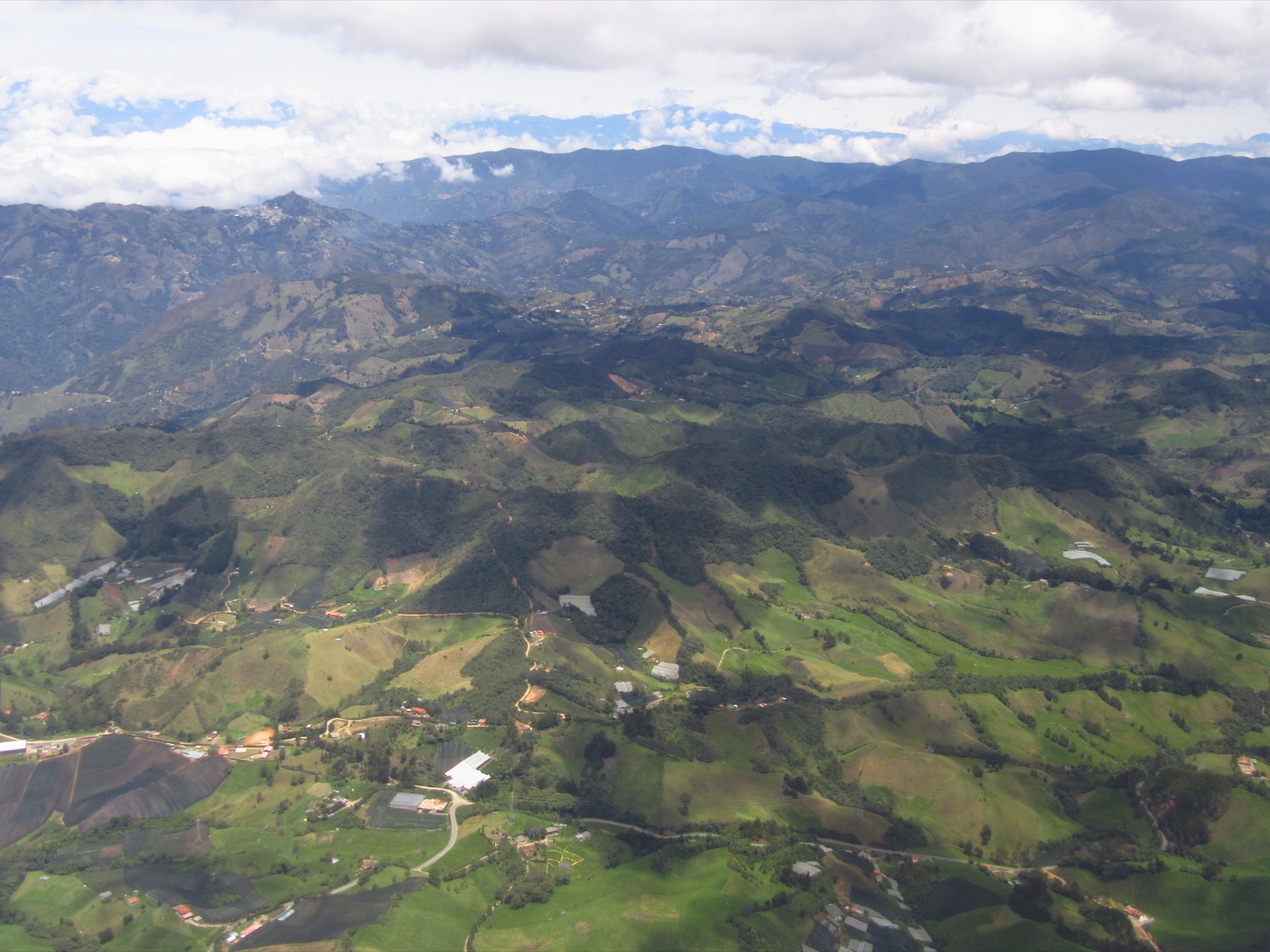 El Retiro · El Retiro
El Retiro.
Identify municipality, rural locality and property before comparing an offer. Our library does not yet have a complete verified municipal route for El Retiro: request the current planning decision, amendments and applicable mapping from municipal planning.
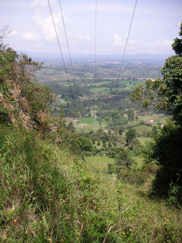 Rionegro · Rionegro
Rionegro.
Use the municipal geoportal to locate the property and enquiry layers. Keep each layer's reference and check it against the applicable document; a geographic view does not itself establish use, access or building feasibility.
Source destination checked: . This date records a link check, not the validity of every rule or a determination about the property.
Explore land in RionegroTell us what you are looking for here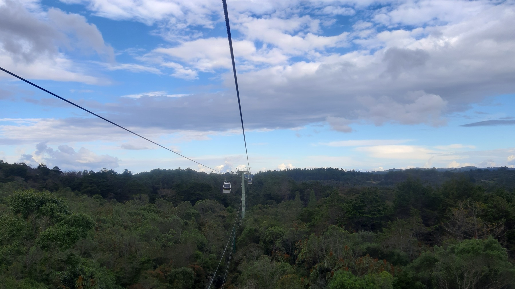 Santa Elena · Medellín
Santa Elena.
Santa Elena is a district of Medellín. Start with the district's sources and confirm that the property actually belongs to that jurisdiction; an advertisement using the area's name does not replace documentary identification.
Source destination checked: . This date records a link check, not the validity of every rule or a determination about the property.
Explore land in Santa ElenaTell us what you are looking for here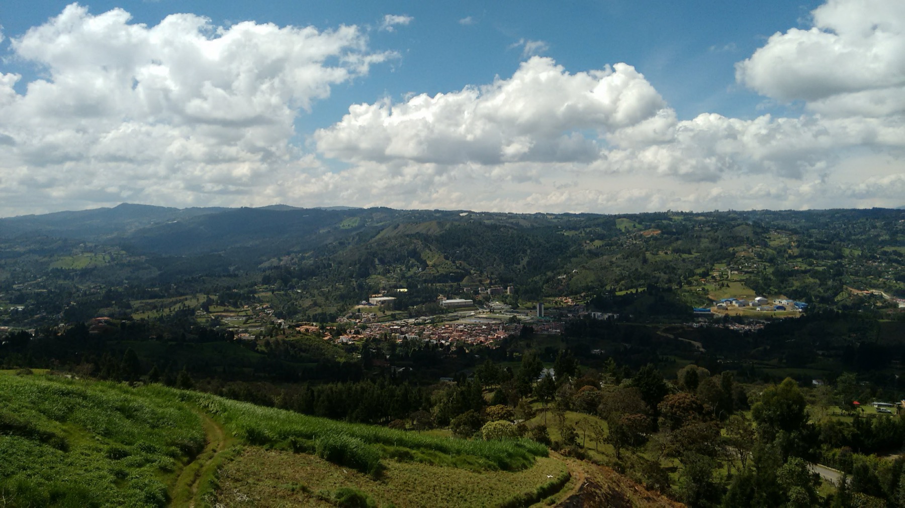 Guarne · Guarne
Guarne.
Enter through the municipal portal to locate planning documents, mapping and enquiry routes. Record the document, version and location supporting each answer, and seek clarification from municipal planning about the actual project before assigning development capacity to the plot.
Source destination checked: . This date records a link check, not the validity of every rule or a determination about the property.
Explore land in GuarneTell us what you are looking for herePhotographs show regional scenery, not properties currently offered for sale.
Your land has possibilities.
Sell it, lease it, or open the door to a new collaboration.