POT Medellín: lo que el anuncio no te cuenta
Watch the explanation and read its transcript on POT Medellín: lo que el anuncio no te cuenta. To continue your review, also read Del POT al terreno: no pague hoy por una obra que aún debe ejecutarse and Riesgo natural en un lote: mapas, estudios y condiciones para decidir.
Video, transcript and related readingThe first question is not how many floors you want. It is which plot this is, where it sits and which rules affect it.
A listing description and planning rules are different things
A plot may be marketed as country living because of its scenery, vegetation or lifestyle outside the city. Residential or investment labels may describe the seller's intentions. They help people explore offers, but do not replace the classification, permitted uses and conditions in planning instruments. A beautiful photograph does not establish that a house, accommodation business or subdivision is allowed.
A POT is a technical and regulatory municipal planning instrument. Municipalities may also have a PBOT or EOT, depending on the applicable instrument. For a specific decision, locate the plan, maps, implementing rules and relevant amendments. Finding an old agreement does not establish that every provision remains unchanged: identify the text and mapping the authority currently uses for that location.
First establish the municipality and the plot
Being close to Medellín does not make Medellín's rules apply across Antioquia. Land in Rionegro, Guarne or El Retiro needs the relevant municipal enquiry. Even a familiar neighbourhood name may be used broadly in listings. Compare the location with the property registration number, cadastral reference, documents and a plan identifying the area. If they disagree, the discrepancy is an open question to resolve.
Medellín publishes its POT record and its own geographic tools. Rionegro has a geoportal, and Guarne links its PBOT, maps and procedures from the municipal website. Our library does not yet include a checked municipal PBOT destination for El Retiro: ask its planning office for the instrument and amendments. That gap matters; a national or environmental source does not replace the missing municipal document.
Separate classification, use and building conditions
Law 388 distinguishes urban, urban-expansion and rural land and regulates suburban and protection categories. Suburban is not the same as urban-expansion land; rural classification alone does not establish whether housing is admissible. Country housing may have specific rules within rural planning: a listing label does not establish compliance. Identify the plot's classification and conditions in its municipal planning instrument.
A useful enquiry goes beyond asking whether land is buildable. Ask about the applicable land classification and categories, then the specific intended use and its conditions. Permanent living, food production, guest accommodation and a business are different projects. Describe the actual activity, scale, access, facilities and operation so the response addresses a concrete intention rather than an ambiguous marketing label.
If building may be possible, the project's conditions still need to be identified: areas, coverage, height, floors, setbacks and other relevant limits. Do not fill these details in by copying a neighbouring house. Its age, licence, planning area or circumstances may differ. Keep the response, plot reference and documents used; a changed project may require a fresh enquiry explaining what changed.
Maps help; constraints need context
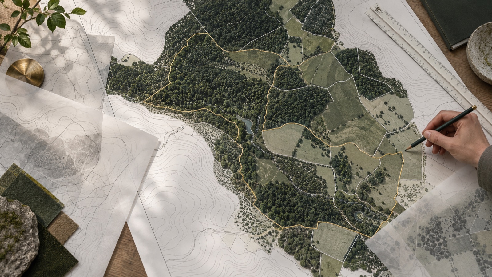
A viewer helps locate information, but you must read the appropriate layer and its metadata. Check scale, coverage, date, origin and legend. A line appearing outside a plot on screen does not by itself prove an exact boundary. Save the link, enquiry reference and questions needing suitable mapping or studies. Do not treat an initial lookup as an authorisation.
Water, protected areas, hazards and other constraints may affect a proposal. Cornare provides an environmental lookup for its jurisdiction, and our library associates it with Rionegro, Guarne and El Retiro. For Medellín or another municipality, confirm the competent authority for the exact location; we do not automatically apply that regional lookup to all plots. Identifying the authority is part of the research.
An enquiry is not a building permit
General planning information, a land-use opinion and a licence may have different purposes and effects. Before investing on the basis of a response, establish what document you received, which activity it addresses, the plot identification and its scope. Medellín's economic-activity land-use lookup, for example, should not be read as an authorised floor count for a home. The right response needs the right question and procedure.
When speaking with a seller, separate available information from claims that need confirmation. If a licence, utility connection or building capacity is promised, request evidence and clarify precisely what contractual commitment is offered. Organise those conditions with an adviser before paying a reservation or signing a purchase promise. A checked box on a platform records information; it does not validate planning or title.
Prepare an enquiry that can move forward
Prepare a short record of the plot and the intended project. Distinguish known details, received information and outstanding questions; identify who should answer each question and keep the original source. Our finder leads to municipal sources, and the dossier organises notes and statuses in your browser. These tools prepare the conversation; a decision requires checking the documents and responses relevant to the actual plot.
- Confirmed municipality and consistent plot identification.
- Intended activity described, including approximate size and scale.
- Identified sources, maps, responses and amendments.
- Hazard, utility, access and permit questions assigned to the right authority.
Test a case and identify the missing answer
Imagine a hypothetical rural plot advertised as ideal for a home and guest stays. The seller supplies a map screenshot and an economic-activity response without project drawings. The review should not summarise everything as approved use: first confirm municipality, identification and the activity actually queried. Then separate personal housing from accommodation and describe scale, access, facilities and operation to obtain a relevant answer. Ask the planning reviewer to identify conditions and documents appropriate to the actual proposal. If the screenshot lacks date, layer or sufficient location detail, retain that limitation and request suitable mapping. An initial response can justify further investigation without necessarily justifying a construction advance. This example neither predicts a municipal decision nor determines an individual right. It identifies missing evidence and the spending dependent on it. Keep a changed project version with the enquiry rather than silently applying a conclusion to another use or scale. A decision should remain conditional where the answer addresses only part of the proposed activity.
Connect conditions with money and commitments
Organise a table connecting each territorial condition with evidence, owner, investigation cost and the decision dependent on it. An unresolved restriction can change siting, design, budget or the suitability of a candidate; a generic financial contingency does not resolve it. Ask which documents need renewed review before signing and which project changes would require another enquiry. Where the seller undertakes obligations about licences, services or suitability for a use, have the agreement describe their scope with advice rather than confusing listing claims with an already agreed guarantee. Retain complete responses, annexes and professional exclusions. Municipal mapping and environmental determinants have different scopes: a favourable review of one layer does not certify all others. When a decisive answer is absent, adjustment, waiting or rejection can be preferable to forcing a conclusion. The file should explain what is known about the property, for which project and under which conditions. Keep visible what does not yet support permission or expenditure so the next commitment can be assessed on current evidence.
Take your questions to the specific plot.
Keep what you know and identify what is missing. A general guide does not determine ownership, permissions or a plot's feasibility.
This guide's official sources
References consulted to prepare this explanation. Check the text, amendments and applicable scope. An editorial update does not establish professional review or an authority's answer for your case.
Guided territorial-enquiry example
Imagine a fictitious property described only as countryside land and a proposal for a home with visitors. Replace that description with location, activity and specific sources. This worksheet prepares an enquiry without assigning development rights to the example.
| Review question | Evidence to record | Next action |
|---|---|---|
| Which property and municipality are being checked? | Available folio or reference, location plan, coordinates and municipality checked against the records. | Clarify identity before selecting a POT, PBOT or EOT; proximity to Medellín does not determine jurisdiction. |
| Which rule and map version is being used? | Instrument, decision, known amendments, layer, date, scale and legend of the mapping enquiry. | Retain the complete reference and seek interpretation if a line or category cannot be located precisely. |
| Which activity actually describes the project? | Home use, visitors, frequency, vehicles, utilities and proposed works, with a dated project brief. | Ask separately about use, conditions and procedures; the countryside label does not itself answer them. |
| Which document answered, and within what scope? | Issuer, date, property reference, answered question, attachments, conditions and limits of the response. | Distinguish guidance, an opinion and an authorising decision; an economic-activity enquiry does not authorise floor numbers. |
| What depends on an additional check? | Outstanding environment, risk, utilities, access and design-change questions, with the responsible enquirer. | Connect each outstanding item with budget and progress decisions; retain municipal and environmental responses separately. |